Supporting collaborative citizen science
As habitats change, so do the connections between them.
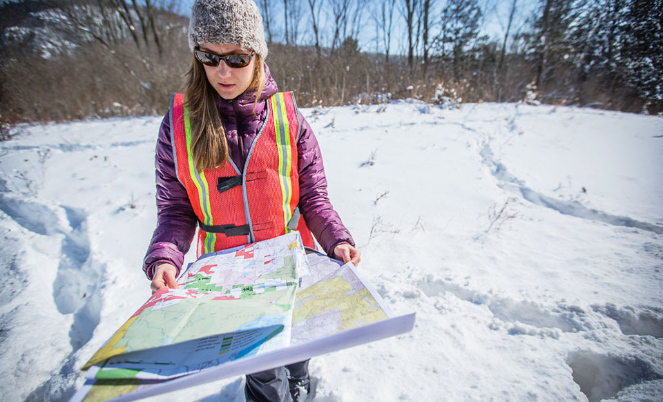
The Staying Connected Initiative works closely with conservation practitioners throughout the Northern Appalachians / Acadian ecoregion to determine the quality and quantity of landscape elements – such as the size and condition of habitat patches – and evaluate whether conservation strategies are having a positive effect on landscape connectivity.
The science-based information and technical assistance provided by SCI partners helps communities and practitioners across the region develop effective programs and initiatives. Thanks to the network of partners, we are able to leverage local data using GIS analyses to help inspire multi-community dialog to plan for connectivity at a regional scale.

SCI partner scientists have conducted fine-scale identification of structural wildlife pathways in nearly all states and provinces within the ecoregion. Using computer models, they determine the best routes between habitats and then validate that work using satellite imagery and verification in the field. Additionally, SCI’s Measures and Evaluation Group (MEG) has developed a framework that considers land use, land cover, barriers to movement, and other factors to assess the quality of connectivity. These simple, inexpensive, and repeatable GIS-based measures help practitioners and community groups plan precise, comprehensive, and meaningful connectivity initiatives – and evaluate their effectiveness over time.