Making roadways safe for wildlife and people
SCI partners are identifying road segments that are critical for wildlife connectivity in all of the linkage areas.
As road mortality threatens both wildlife and human lives, SCI partners are identifying road segments that are critical for wildlife connectivity to minimize collisions and improve road safety throughout the Northern Appalachians / Acadian ecoregion. Using sophisticated spatial models coupled with field assessments, SCI partners are collecting and sharing data on important wildlife crossings with provincial, state, and local transportation agencies.
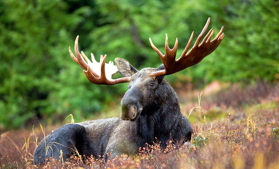
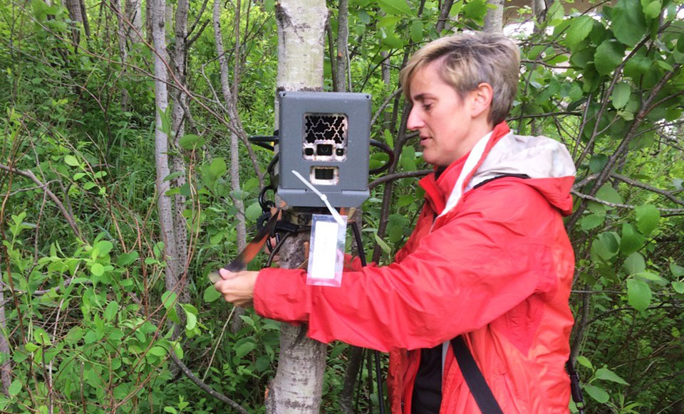
Our field work consists of setting up remote cameras and tracking wildlife along key road stretches, which is being conducted in many regions using a combination of professional trackers and volunteers. Our citizen scientist corps continues to gather critical data to identify important routes for various species of wildlife, including moose, bear, bobcat, and even turtles!
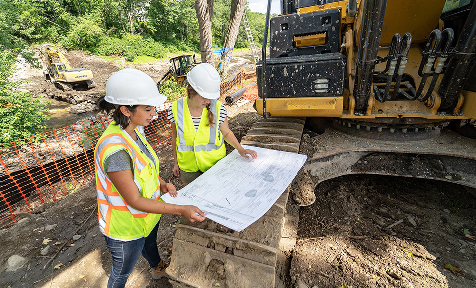
By engaging with state and local transportation officials, the partnership is working to significantly influence the consideration of habitat connectivity in specific road maintenance and upgrade projects throughout the region.
Examples of the work of SCI partners includes trainings on fundamental concepts in transportation and habitat connectivity, assessing the degree of permeability of culverts and bridges to inform connectivity planning, and developing numerous reports and databases on available modeling tools for priority-setting, barrier mitigation approaches, and field validation and monitoring protocols.